

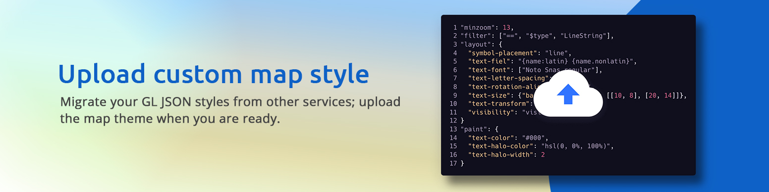
Customize Your Maps
Design your maps effortlessly, with options for modifying colors, language settings, fonts, and advanced editing to achieve the desired map appearance.
Versatile Maps for Every Use
Explore a diverse range of customizable maps designed to cater to a multitude of specific use cases, guaranteeing an ideal solution for your project's unique requirements. Whether you're navigating intricate geographic data, planning an event, or conducting spatial analysis, our maps offer a tailored and versatile solution. With user-friendly customization options, you can seamlessly integrate the perfect map into your workflow.
Empower your projects with precision and efficiency by accessing maps that align with your specific needs, providing an unparalleled level of flexibility and accuracy for a seamless mapping experience.
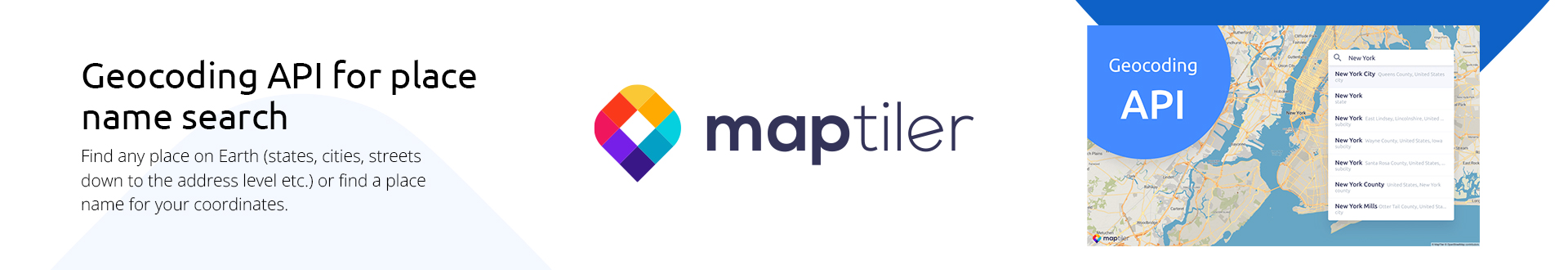
Developer-Friendly Tools
Developers can optimize their application development process by harnessing the power of Application Programming Interfaces (APIs) and leveraging comprehensive code samples. This strategic approach facilitates the seamless integration of dynamic maps into both web and mobile applications. APIs provide developers with standardized interfaces to access map-related functionalities, while thoughtfully crafted code samples serve as practical templates, streamlining the implementation process.
This not only enhances the overall user experience but also accelerates the development cycle, allowing developers to focus on innovation and customization rather than grappling with complex map integration challenges.
Self-Hosted Map Option
Unlock seamless navigation with our versatile mapping services, whether you choose to publish maps directly from your server or opt for offline access. Ideal for situations with limited internet connectivity or when stringent firewall restrictions are in place, our solutions empower you to confidently explore any terrain. Enjoy the flexibility to tailor your map functionality to specific scenarios, ensuring a reliable and customizable navigation experience.
Experience the freedom of unhindered exploration by harnessing our advanced mapping technology, providing unparalleled convenience in both online and offline environments. Wherever your journey takes you, trust our maps to guide you effortlessly.
Data Processing Tools
Effortlessly convert images into detailed maps on your computer or efficiently process vast amounts of satellite imagery with the power of a computer cluster. Streamline complex data processing tasks, enhancing manageability and accelerating your workflow. Unlock the potential of advanced mapping capabilities, whether for geographic analysis, navigation, or environmental monitoring.
This technology empowers users to seamlessly navigate and interpret intricate spatial data, making it an indispensable tool for professionals in fields such as cartography, urban planning, and environmental science. Harness the synergy of image transformation and computer clustering for unparalleled precision and efficiency in handling diverse mapping needs.